Nature
Due to its location at the bottom of the estuary and at the mouth of the rivers Lérez, Rons and Gafos, the city of Pontevedra enjoys a privileged natural environment. A perfect combination of coastal and mountain landscapes, rivers and estuary, which are also of great importance and natural diversity. To enjoy nature, it is not necessary to go far from the city centre. In recent years, the banks of the river Lérez, as well as the Rons and the Gafos have been recovered as leisure areas with several river paths.
River Lérez - Illa das Esculturas
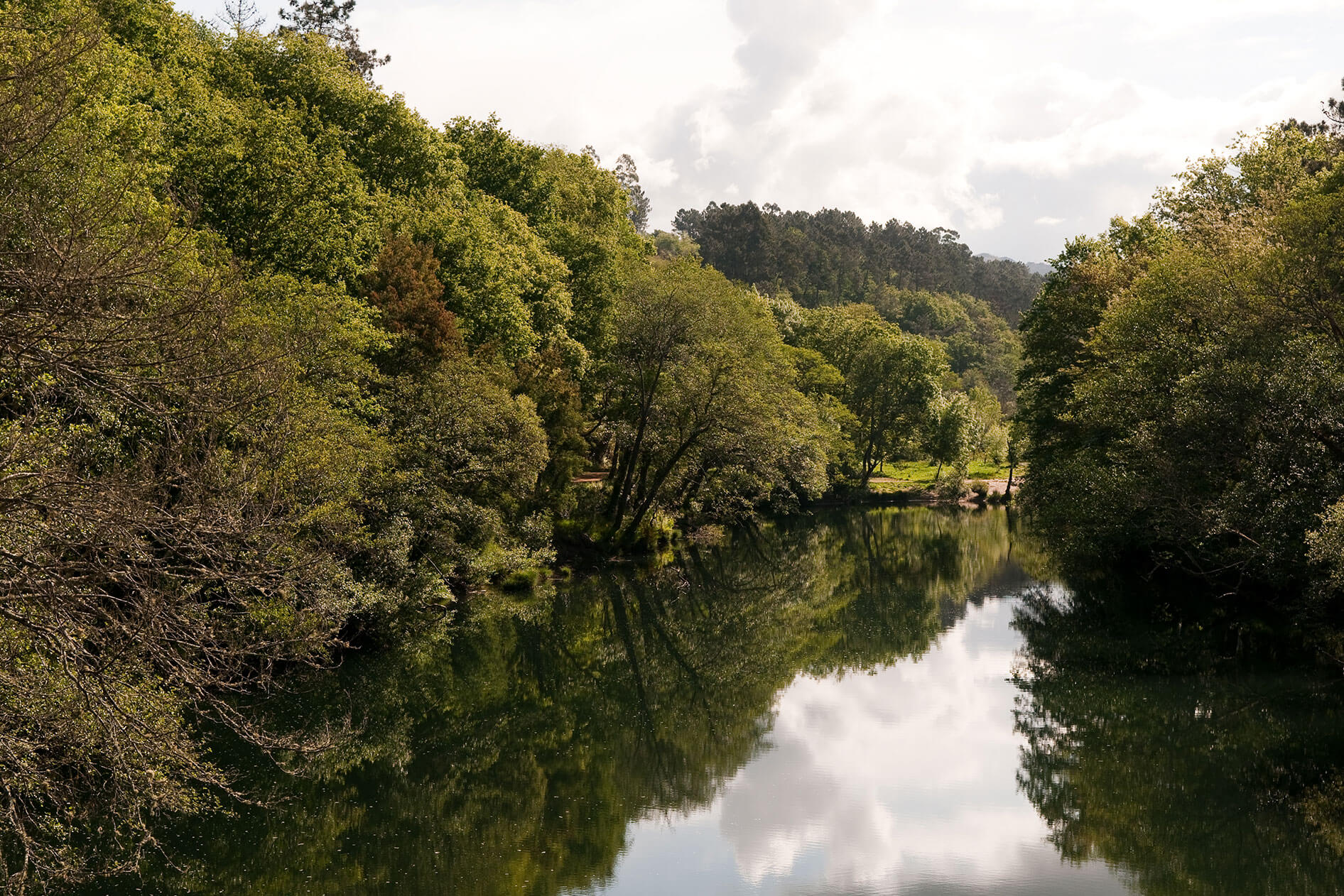
The river Lérez constitutes a natural framework of undeniable environmental value that serves as a link between the urban and rural part of the municipality of Pontevedra. It rises at an altitude of 900 metres in the Serra do Candán, and flows for more than 61 kilometres before emptying its waters into the Pontevedra estuary. It is at its mouth where it gives rise to an ecosystem unique to the Galician coasts, with a series of natural peculiarities. The greatest ecological interest of the coastal front lies in the intertidal habitats, sandy and muddy intertidal and subtidal banks and marshes. This whole area is a Site of Community Interest (SCI) with special protection. In this final stretch of the river and practically next to the city we find the island of sculptures or illa do Covo perfect symbiosis between nature, art and landscape. This place hosts a pioneer artistic project in Spain with which twelve works in granite by different artists related to the environment are permanently exhibited in the open air. There are several hiking trails that run along the two banks of the river and its varied and lush forest.

River Lérez
Xunqueira de Alba
The Xunqueira de Alba is one of the most interesting natural areas of the municipality, declared in 2012 as a Natural Area of Local Interest (ENIL), the first of its kind in Galicia. It is one of the best preserved marsh and wetland areas of the Rías Baixas. The protected area occupies about 67 hectares with a great variety of ecosystems, plant species and fauna among which birds stand out. It is an area of great interest for the observation of migratory waterfowl and especially waders or wintering, even for some species breeding area. In the northwestern part there is an observatory on the edge of the marsh next to the small estuary that is formed in the final stretch of the river. In addition to the birds, there is a great variety of insects, especially dragonflies and butterflies, some of which are in danger of extinction, amphibians and it is also possible to observe small mammals such as otters.

Xunqueira de Alba
Gafos River
The surroundings of the Gafos River is the second Natural Area of Local Interest (ENIL) that we find in the city. Following the channel of the river Gafos on its right bank, among lush riparian vegetation runs a beautiful linear path of six kilometers. The riverside vegetation in some areas becomes very dense, ferns, lichens, mosses, mosses, silvas, ruscos and even hops share habitat with hawthorns and oaks of important dimensions. Along the path there are three types of wooded formations: the brañas, where willows and alders prevail; the forests, dominated by oaks, ashes, birches, poplars and alders; and the sotos, chestnut forests.

Gafos River
Forest parks
In recent years a periurban green ring has been created in the city in which some forest parks stand out. A great alternative, close to the city, offers natural places to get in touch with nature and discover the fauna and flora that inhabit it.
A Fracha
This forest park is located in the mountain of A Fracha, between the parishes of Marcón, Tomeza and A Canicouva. It covers 406 hectares and has a leisure area and several paths to enjoy a walk, classified according to their difficulty. From its viewpoint you can contemplate the Pontevedra estuary and part of the Vigo estuary. The panoramic view of the city of Pontevedra, located on the banks of the river Lérez before its mouth, stands out. The environment corresponds to the usual characteristics of the coastal mountains of the Rias Baixas, steep slope and vegetation cover with forest plantations on the slopes with scrub and the top crowned by rocks.

Couto das Forcadas viewpoint
A Tomba
The forest park of A Tomba is very close to the urban area of the city of Pontevedra, in Campañó, so close that you can walk there. This forest park, which occupies 62 hectares, is in full repopulation, with various species such as Pyrenean oaks, chestnut and olive trees, as well as shrubs such as holly.
Gardens of the Lourizán Pazo
The Lourizán gardens are an area of great botanical interest located just 3 kilometres from Pontevedra. Its gardens, estate and grove of 54 hectares are home to around 700 plant species from all continents, one of the most important collections in Galicia. Some of the species are included in the Galician Catalogue of Singular Trees. The pazo, the greenhouse and the gardens were built by Montero Ríos between the end of the 19th century and the beginning of the 20th century, with a design of great modernist influence.

Lourizán Pazo
Other natural areas in the surroundings
In the surroundings closest to the city of Pontevedra we find a great variety of corners with great natural value, where there are also other elements that are part of the culture and history of Galicia.
Ulló Salt flats
Las salinas reciben su nombre del valle del Ulló, situado en la parroquia de Paredes (Vilaboa), a 11 kilómetros de Pontevedra. Tienen una gran importancia etnográfica y natural, pues constituyen un lugar de referencia para el paso y la observación De aves. Este espacio incluye varios ecosistemas como el bosque de ribera, la marisma y la ensenada. Todo el conjunto ha sido recuperado y dispone de una senda que cruza y rodea las marismas. Estas salinas comenzaron a ser explotadas por los Jesuitas de Pontevedra en 1694 y alcanzaron gran importancia. En la parte Oeste del dique se encuentra la granja de las Salinas, unas ruinas que datan de finales del siglo XVII y principios del siglo XIX.
Serra do Cando
Between the valleys of the Verdugo River and the Lérez River, the Serra do Cando stretches along a mountain range with altitudes of about 1000 meters, where Mount Seixo stands out at 967 meters of altitude. This protected natural space, since it is part of the Natura 2000 Network and is a Site of Community Importance (SCI), is located 34 kilometers from the city of Pontevedra. It includes several municipalities, such as that of Cerdedo-Cotobade, A Lama, Forcarei and, already in Ourense, Beariz. The mountains are the cradle of numerous rivers, such as the Verdugo or the Almofrei. Numerous ponds and brañas where the water is used for free-roaming cattle preside over the top of this mountain range, where the predominant vegetation is toxo, carqueixa and breixos, typical of this Atlantic mountain climate.
Castiñeiras Lake
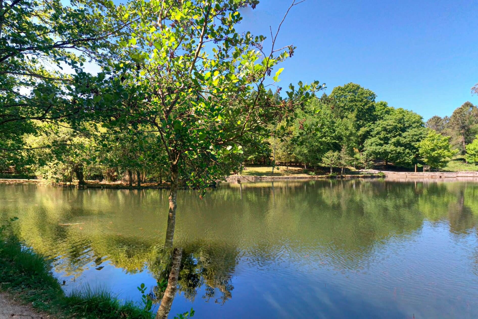
The Castiñeiras Lake is part of a large natural park 10 km from the city that extends through the municipalities of Marín, Vilaboa and Moaña, where you can also find the viewpoint of Cotorredondo. The environment is an important refuge and breeding area for many species of wild animals. Castiñeiras Lake is an artificial lake from 1950 but with great charm and natural value. There are several streams that feed it, giving rise to a unique space in which native species coexist with trees from very different origins. It has several paths, fountains, playgrounds and recreational area.

Castiñeiras Lake
Cape Udra
Cape Udra is a protected coastal natural area that is part of the Natura 2000 Network located in the municipality of Bueu, 27 kilometres from Pontevedra. In addition to its classification as a Site of Community Importance (SCI), it is a Special Protection Area of Natural Values (ZEPVN). The protected area covers about 8 kilometres of coastline and 443 hectares of sea water. From the existing car park on the way down to the beach of Mourisca we can take a small hiking route of almost 4 kilometers by the sea that leads us to the nature classroom. All this part of the coast of Cape Udra also stands out for its coves and beaches such as Tuia, Mourisca, Ancoradouro and Lagos.
A Barosa Natural Park
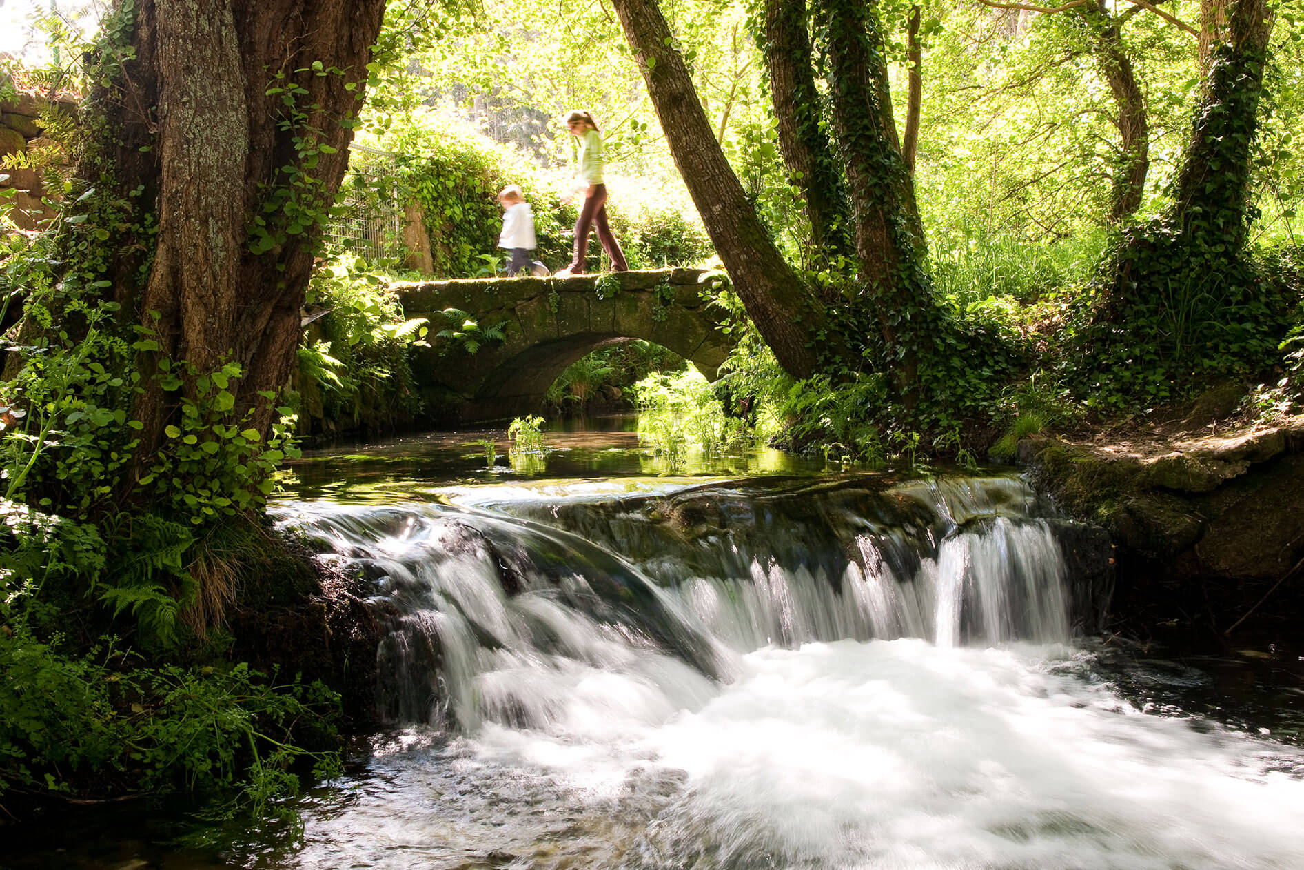
Located in the municipality of Barro, 18 kilometres away, this is a small natural park in which there is a large waterfall with a circular path of 4 kilometres. This itinerary runs along the river Barosa and allows you to contemplate the set of 12 water mills located in cascades taking advantage of the unevenness of the river. The mills are typical constructions that you can find on the banks of many of the rivers around Pontevedra.
 Urban green